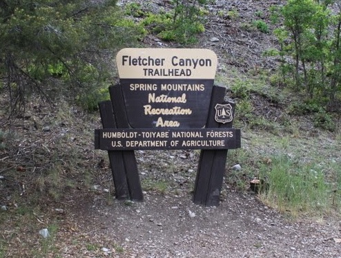
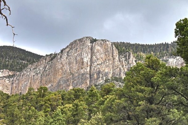
Hiking in Mt. Charleston, Fletcher Canyon.
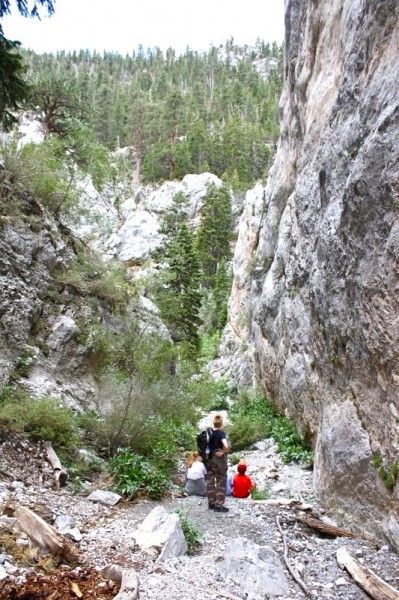
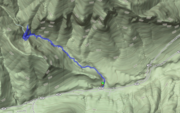
This is a great hike, 1.8-2 miles one way, this is a relative easy hike. The starting elevation is at 6,822 ft and goes up to 7,610 ft to the narrow canyon. This hike is frequented by lots of hikers with their dogs. On one visit we saw over 20 different dogs with their owners. (If you bring your dog, make sure you pick up after your pets, thank you!) On the trail, you may cross a stream of cold mountain water (seasonal). Follow the foot path climbing up as the canyon walls narrow and you enter a slot canyon filled with living trees, ferns, wild roses; as well as debris (logs, rocks) washed down by flash floods. You will eventually dead end at an obstacle rock. This is the turn around point for most hikers. More adventurous hikers tell us you can get around the rock and continue on to Stanley B. Springs.
Time on Hike: 2-3 hours depending on your resting/downtime.
Driving directions: 15 N from Las Vegas to 95 N toward Reno, W on SR 157 (Mt. Charleston – Kyle Canyon) 18.1 miles (which is 1/2 mile past junction with SR 158); look for small parking area and trailhead on R (N) side of road just before reaching the USFS Visitors Center. There is very limited parking
Tags: Fletcher Canyon, Fletcher Peak, hike, Kyle Canyon, Lee Canyon, Mt. Charleston, National Forest, SR 158, Toiyabe


Highly recommend this hike:
https://hikingguy.com/hiking-trails/las-vegas-hikes/fletcher-canyon-trail-hike/