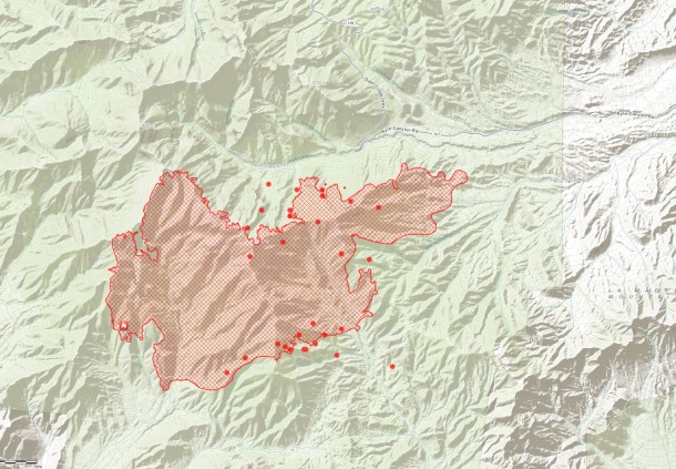
Perimeter (red lines)
MODIS hot spot from satellite sensor, estimated location (1km). (Red Dots)
Source: ESRI http://www.esri.com/services/disaster-response/wildlandfire/user-maps
View Map: http://tmappsevents.esri.com/website/wildfire-responsive/index.html

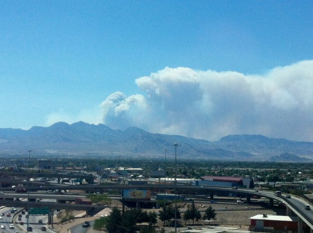
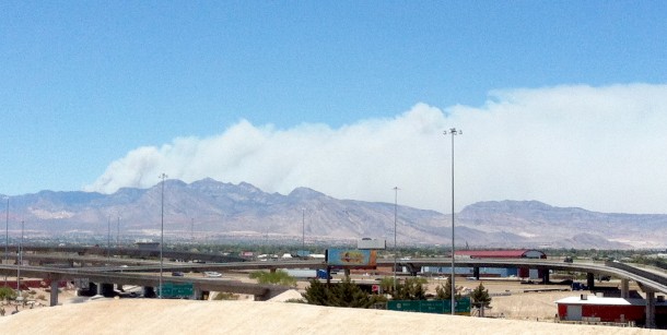
Mt. Charleston Carptener 1 Fire as of 2:50 pm 7/8/2013 darker smoke is visible shifted north from earlier.
Mt. Charleston as seen from downtown Las Vegas.
Photos By: LasVegas360.com

