 Recent Posts
- Unveiling the next level of wagering sophistication in Las Vegas
- Maximise Your Vegas Adventure: The Perks of 1 Dollar Deposits in Casinos
- Mastering the Las Vegas experience for casino enthusiasts
- Luxury R&R at the Best Spas and Salons in Vegas
- From Collector’s Items to Betting Chips: CS2 Skins in Gambling Culture
 Older Posts
 Twitter
-
 Sponsors
Category: Off The Beaten Path
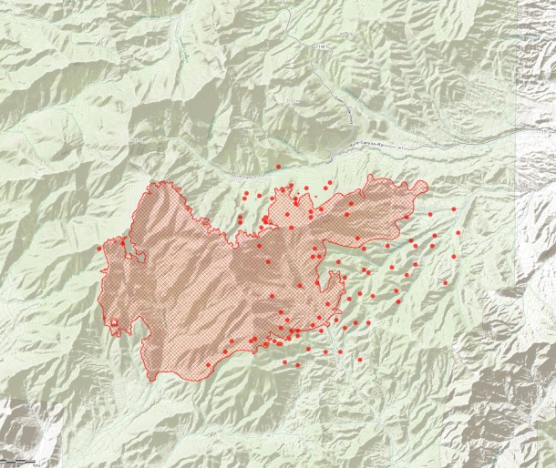
Carpenter 1 Fire Day 10 Hot Spot Map 7:30am
July 10, 2013
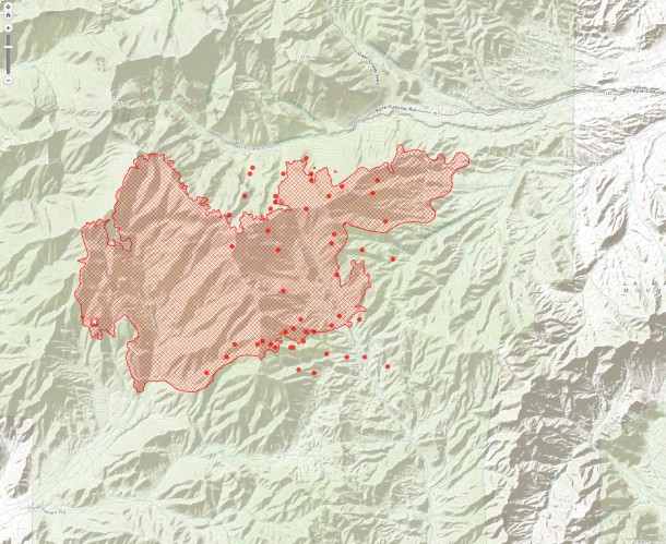
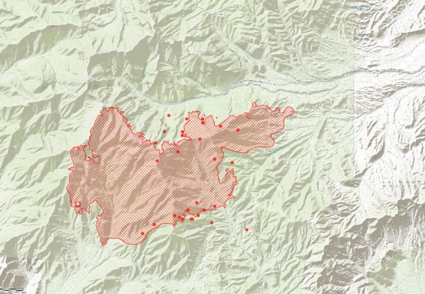
Carpenter 1 Fire Update 4:38pm New Hotspot Map
July 9, 2013
Fire Facts
Date started: July 1, 2013
Location: Spring Mountains National Recreation Area, W Las Vegas, Nev.
Size: 19,757 acres
Percent contained: 15%
Cause: Lightning
Structures lost: 0
Number of Personnel: 803
Crews: 19
Engines: 44
Dozers: 2
Water Tenders: 10
Helicopters: 9
Injuries: 0
Cost: $4.84 million
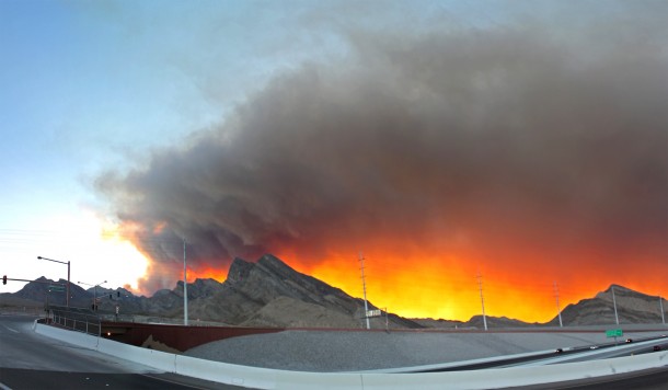
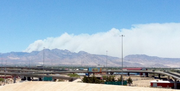
Sun setting behind Carpenter 1 fire on Monday Night 7-8-2013. Photo Taken from top of Lake Mead Blvd and 2-15. Wind direction is blowing towards the northeast bringing the smoke closer to the Las Vegas Valley. additional info
Photo By: LasVegas360.com
| Total Personnel | 753 |
|---|---|
| Size | 15,268 acres |
| Percent Contained | 15% |
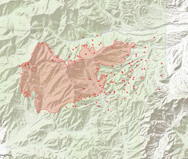
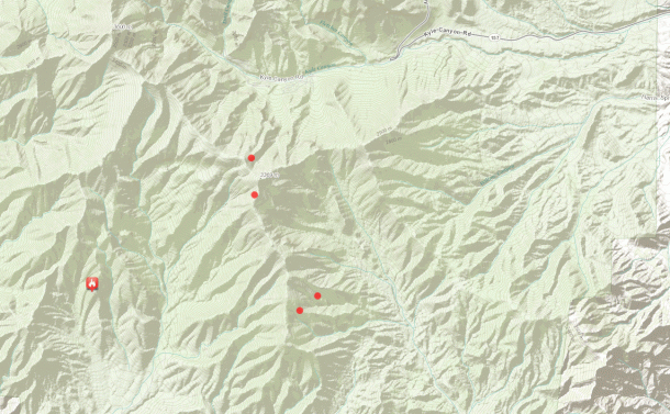
Perimeter (red lines)
MODIS hot spot from satellite sensor, estimated location (1km). (Red Dots)
Source: ESRI http://www.esri.com/services/disaster-response/wildlandfire/user-maps
View Map: http://tmappsevents.esri.com/website/wildfire-responsive/index.html
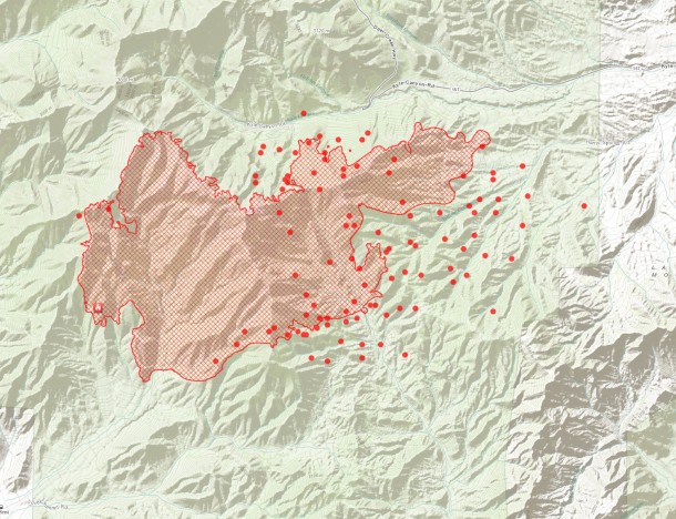
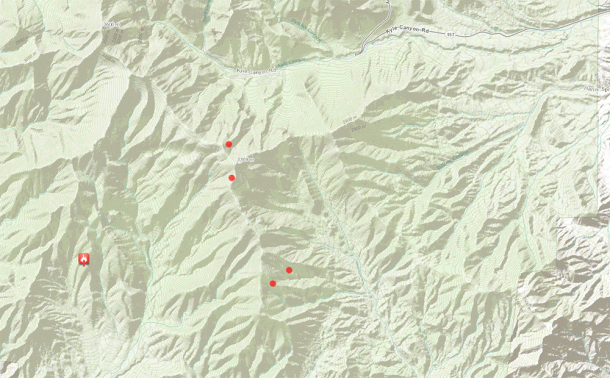
Perimeter (red lines)
MODIS hot spot from satellite sensor, estimated location (1km). (Red Dots)
Source: ESRI http://www.esri.com/services/disaster-response/wildlandfire/user-maps
View Map: http://tmappsevents.esri.com/website/wildfire-responsive/index.html
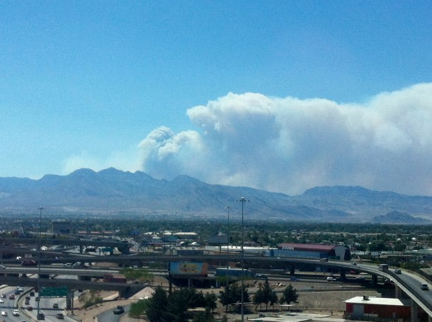
Mt. Charleston Carptener 1 Fire as of 2:50 pm 7/8/2013 darker smoke is visible shifted north from earlier.
Mt. Charleston as seen from downtown Las Vegas.
Photos By: LasVegas360.com
